
Where once positioning services such as GPS could deliver accuracy no better than several metres, enhanced services will provide accuracy that will enable people, phones and cars to align spatial data with accuracy of 10 centimetres anywhere, anytime across Australia.
“We would like your assistance in better understanding the value of more precise location data and would appreciate it if you could complete the following survey to better understand the value of more precise location data to you and your organisation,” Geoscience said.
“Today, the value of positioning technologies is enormous and continuously rising. From ride-sharing to weather-mapping, from public transport optimisation to autonomous vehicles, using satellites and terrestrial data to know the location of people and things is opening up new opportunities for individuals, government and businesses across Australia.”
Currently, using GPS technology and other satellite-based systems, Australians can know where they are to an accuracy of around 5 metres.
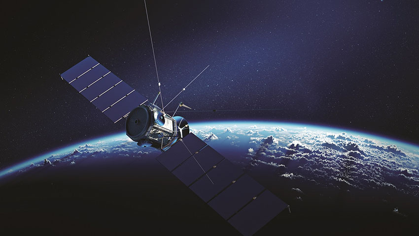
Geoscience Australia, through its specialist organisation Positioning Australia, is one of the government agencies leading the modernisation of the Australian Geospatial Reference System (AGRS), which is the framework that enables GPS to work in Australia and is being upgraded to be far more precise.
The government is helping. In the last budget, it announced an investment of $224.9 million to improve positioning capability and its use even further.
Already it’s demonstrating substantial potential benefits.
An 18-month trial of high-accuracy satellite positioning technology, the Satellite-Based Augmentation System (SBAS) has assessed the economic, social and environmental benefits of improved positioning technologies, and found tangible benefits across a range of industry sectors.
That has an expected value of $7.6 billion for Australia and New Zealand, with $6.2 billion for just Australia, over 30 years.
The report was conducted by Ernst and Young for FrontierSI, a specialist research organisation with expertise in positioning and spatial analytics.
It highlighted many other potential applications where SBAS technology can improve all facets of life.
For example, it found $820 million in feed and fertiliser savings for farmers due to enhanced pasture utilisation from SBAS-enabled virtual fencing. Farmers could also save $130 million through reduction in spraying overlaps from greater penetration of precision spraying.
As well, the construction sector could avoid 1,700 injury-causing falls from height through use of enhanced geo-fencing, with economic benefits of $224 million.
Make Space Connect a preferred news source on Google.