
It apparently considered a number of possibilities, such as National Positioning Infrastructure, National Positioning Infrastructure Capability (NPIC), Satellite-Based Augmentation System (SBAS) and Positioning for the Future.
The Canberra-based organisation said there had been a number of names and projects to encapsulate what Geoscience Australia is delivering for Australia’s positioning capability.
That understandably caused confusion and frustration with stakeholders, it said.
”To rectify this, we have undertaken an extensive rebrand process to develop a cohesive brand solution and consolidate our key messages. We’re pleased to welcome you to Positioning Australia,” it said.
“Our mission going forward is to enable Australian industry to progress and thrive by providing the necessary infrastructure for better positioning technology and allow for innovation across all sectors.
“We want to provide information, advice and leadership to help empower the future goals and capability of Australian industry.”
To support this work, its website has been updated with clearer information, industry benefits and case studies.
Positioning Australia aims to set standards and improve technology to allow better use of satellite navigation services across Australia.
These have already proved incredibly useful across a whole range of industry sectors, down to individual smartphone users accessing Google Maps and services such as Uber.
The government is helping. In the last budget, it announced an investment of $224.9 million to improve positioning capability and its use even further.
That comprises funding of $160.9 million for development of an Australian SBAS to enable even more precise position fixing and $64 million for upgrading Australia's ground network through the NPIC.
Though the US global positioning system (GPS) is the best know satellite navigation system, there are actually many other systems developed by other countries.
Australia is actually in the fortunate position of having high visibility to six such systems – the US GPS, Russia's GLONASS, Japan's Quasi Zenith Satellite System (QZSS), the European Union's Galileo, China's BeiDou and the Indian Regional Navigation Satellite System (IRNSS).
Each system contains multiple satellites and can be used by land, sea and airborne users in all weather conditions, anywhere and anytime.
“We’re working to ensure that accurate positioning information is widely available to the community through the Positioning Australia program,” it said on its website.
That’s being delivered through ground station infrastructure known as the NPIC and a system to deliver corrected positioning signals directly via satellite technology through an Australian SBAS.
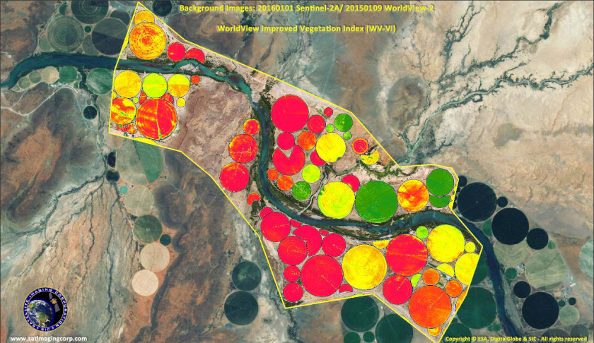
“Together, these will provide more reliable positioning information, allowing for innovation and efficiency across a range of scenarios such as agriculture, transport, emergency management, mining, engineering and logistics,” it said.
“Current technology typically allows for positioning within five-10 metre accuracy but through this program, accuracy will be improved to within three centimetres in areas with mobile phone coverage and 10 centimetres everywhere else.”
Make Space Connect a preferred news source on Google.