
The technology has been developed into a new product called ePaddocks, designed to save time for farmers and others in the agricultural sector when using digital services for farm analytics and insights.
Currently, farm management software requires users to manually draw paddock boundaries for every service they use, like satellite-assisted fertiliser application or crop growth monitoring, and they may have to update this information every growing season.
CSIRO remote sensing specialist Dr Franz Waldner said ePaddocks was highly accurate, detailed and available at the touch of a button, saying, "The satellite images we use, although publicly available, are cumbersome to download, store and analyse by the average person.
"So we apply our deep neural network and algorithms to produce the paddock boundaries based on vegetation signatures and land features."
Unlike property boundaries, which are recorded in local council or title records, paddock boundaries aren't historically recorded anywhere. ePaddocks can identify paddock boundaries from season to season but doesn't identify a particular property or landowner, or what paddock belongs to whom.
Dr Waldner said, "Our method only needs one satellite image taken at any point in the growing season to distinguish the boundaries. It relies on data driven processes and decisions rather than assumptions about what’s on the ground.
"Paddock boundaries have been highly sought after in the digital agriculture world for a little while now, but we’ve tackled it over the past year or so with new technologies and solved it. Our method will set the standard for similar geo-spatial products."
CSIRO experts in agronomy, satellite imagery, data science, software engineering and innovation joined forces and developed the product in record time.
The ePaddocks technology could also be used in other countries and to improve land use maps and track species richness.
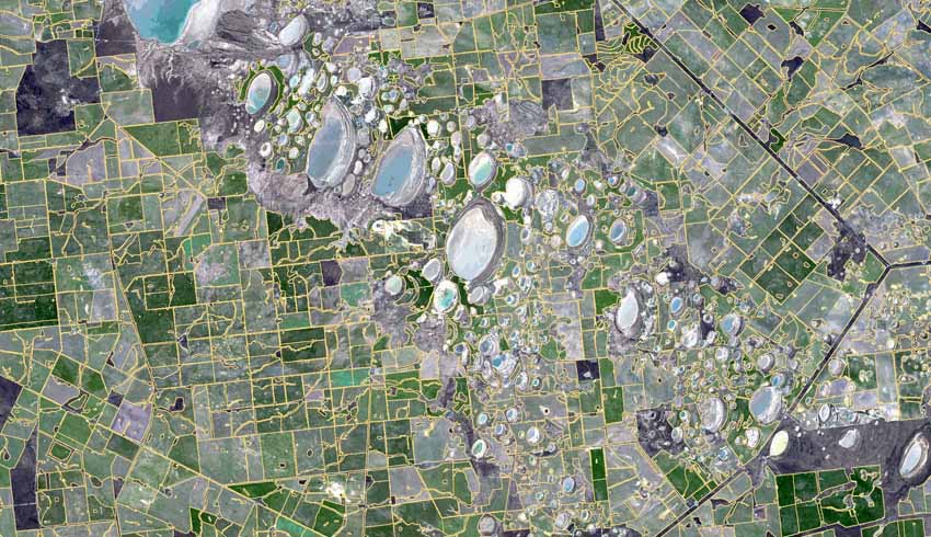
CSIRO's ePaddocks is an Australian Paddock Boundaries dataset shapefile containing the boundaries of crop paddocks at national spatial resolution.
At its core, it is based on artificial intelligence, that is, we teach computers to understand satellite images. In our approach, we teach our computers multiple tasks at once because it has been shown to improve learning overall.
CSIRO also teaches it to recognise paddock boundaries regardless of their orientation and level of zoom (a process called data augmentation).
What can the product be used for?
- Paddock-level monitoring: A standalone geospatial product that service providers in the agricultural sector would use to on-board their farmer clients. The provision of the paddock boundary product eliminates the need for manual input, which is a major hurdle for new clients;
- Crop identification: A critical data input into continental Earth observation and predictive analytics products and services; and
- Rural intelligence and portfolio analysis: The finance sector and providers of rural services requires this data product to disaggregate regional data to a farm or paddock scale. These initiatives include those seeking to understand their share of the market and how to manage logistics and product placement.
The ePaddocks algorithm analyses satellite images of mainland Australia's agricultural areas to locate the boundary between the paddock and other paddocks and farm management areas.
Make Space Connect a preferred news source on Google.