The university’s collaboration with the Australian Institute of Marine Science (AIMS) aims to combine information collected by the SWOT satellite with newly deployed sensors taking seawater samples.
The University of Western Australia’s (UWA) Professor Nicole Jones said the goal was to create tools that could one day improve the decision making of those working in the Browse Basin, a 223,000-square kilometre area north-west of Broome, Western Australia.
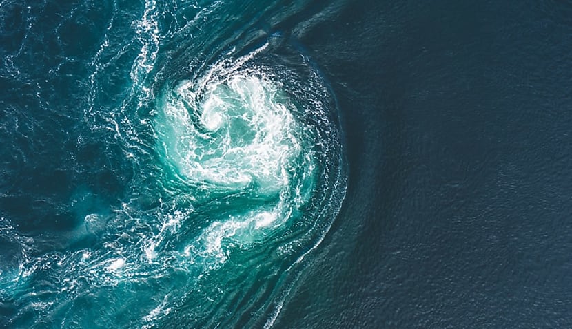
“Strong currents in the region are variable and difficult to predict,” said Professor Jones. “They can range in scale from 100s of metres to 100s of kilometres and can last for hours or days.
“Available forecasts cannot predict these transient processes because, up to now, we haven’t measured or mapped them closely enough.
“Our research will focus on determining how we can use the new SWOT satellite data to better understand these transient processes, leading to predictive models that bring more certainty and insights for organisations working in the region.”
The SWOT satellite is a collaboration between NASA and the French space agency CNES and aims to create the first-ever global survey of earth’s surface water.
Launched in December last year, the spacecraft measures how water bodies on earth change over time. It aims to survey 90 per cent of the earth, studying lakes, rivers, reservoirs, and oceans at least once every 21 days.
In addition to the satellite data, AIMS project leader Dr Jessica Benthuysen said a team of scientists also deployed instruments from a research vessel to measure ocean properties and currents from the surface to the ocean floor.
“This included a vertical microstructure profiler, which looks a little like a chimney sweep’s brush,” she said. “The instrument measures fine-scale motions – turbulence – with very delicate probes.
“We also deployed moorings, which collected oceanographic data for six weeks. In the years ahead, the team will analyse the data and develop products that can be translated into tools for industry.
“Improved forecasting will help offshore operators achieve optimal operational decision making and ensure safety for their people and the environment.”
The reliance on overseas satellite data will likely add to arguments that Australia must invest in its own sovereign Earth-observation satellites.
Earlier this year, the federal government announced it would scrap a flagship $1.2 billion EO project called the National Space Mission for Earth Observation (NSMEO).
NSMEO aimed to improve bushfire detection but was announced by the previous administration in the weeks leading up to the election. It would have seen four local satellites launched from 2028.
It significantly followed the cancellation of a separate promise to invest $32.3 million into Australia’s spaceports and launch sites amid criticism that Labor lacks interest in the space sector.

Adam Thorn
Adam is a journalist who has worked for more than 40 prestigious media brands in the UK and Australia. Since 2005, his varied career has included stints as a reporter, copy editor, feature writer and editor for publications as diverse as Fleet Street newspaper The Sunday Times, fashion bible Jones, media and marketing website Mumbrella as well as lifestyle magazines such as GQ, Woman’s Weekly, Men’s Health and Loaded. He joined Momentum Media in early 2020 and currently writes for Australian Aviation and World of Aviation.

