
Imagery from the Sentinel satellites is providing CSIRO scientists, like David Blondeau-Patissier and Thomas Schroeder from the CSIRO Coastal Ocean Colour and Radar Sensing team, with the much-needed intel to better detect oil spills.
“Never before in Australia have Earth Observation techniques routinely been used to detect oil spills. However, over the last three years, we have developed an approach, in collaboration with the Department of Environment and Science (DES) Queensland and AMSA, to process all satellite imagery acquired over Australian waters by satellites from the European Space Agency Sentinel missions and analyse them for oil spills,” explains Blondeau-Patissier.
For this research, the team mostly uses Sentinel-1 SAR, a synthetic aperture radar. Images are pre-processed to mask out the land and smooth out the sea surface to provide better visualisation of possible presence of oil.
Schroeder adds, “An oil slick will typically appear black against a clear grey background in a Sentinel-1 SAR image, which is the oil-free seawater. But many features can look like oil spills, such as wind shadows. Several key descriptors, such as the width, length and the shape itself, are signature elements we look for to discriminate what is an oil slick, and what isn’t.”
In Australia, Sentinel-1 SAR images are generally acquired every 12 days over the same location. Around 80 Sentinel-1 SAR images are acquired over the Great Barrier Reef every month, with the region extending up to Cape York.
Processing satellite imagery for the Great Barrier Reef is a computational intensive task, as the marine park spans 348,000 square kilometres and is 2,300 kilometres in length. In comparison, the portion of the North West Shelf where most of the oil and gas platforms are located has an estimated coastline of 800 kilometres.
Blondeau-Patissier added, “The Great Barrier Reef is a complex environment, and oil detection can be a challenge. The width of a Sentinel-1-SAR image covers approximately 250 kilometres, so to cover the whole of the Great Barrier Reef region, approximately 10 Sentinel-1 SAR images are needed to be processed each time, resulting in excess of 3,000 images over the last three years.”
Once an image is acquired by the satellite, it is transferred from the satellite’s ground segment to CSIRO’s archive.
It can take 12 hours from when the image is taken to when the team can process it and assess if an oil spill is present in the satellite scene.
An automated work flow of Sentinel-1 SAR imagery for oil spills analysis is in place for the region of the Great Barrier Reef, processing any new image acquired over the region. The next step is to fine-tune a machine learning detection algorithm to develop a fully automated alert system.
For this research, CSIRO consulted with project partners DES and AMSA but also the Great Barrier Reef Marine Park Authority (GBRMPA) and the National Offshore Petroleum Safety and Environmental Management Authority (NOPSEMA) to ensure the tool can provide real value for the real world.
Paul Irving, AMSA senior advisor, science and technical response said, “This research gives AMSA and other environmental agencies information that we haven’t had access to before.
It could help us better assess regulatory compliance options and improve our ability to assess the extent of any oil spill. We will be able to respond in a more informed and cost-effective manner. It is all about reducing potential threats to the marine environment.”
The developed spill detection methods are in the process to be adapted to the NovaSAR-1 satellite, which provides an automatic identification system (AIS), combined with NovaSAR-1’s maritime surveillance mode for ship identification.
This can help to identify specific ships linked to possible illegal discharges.
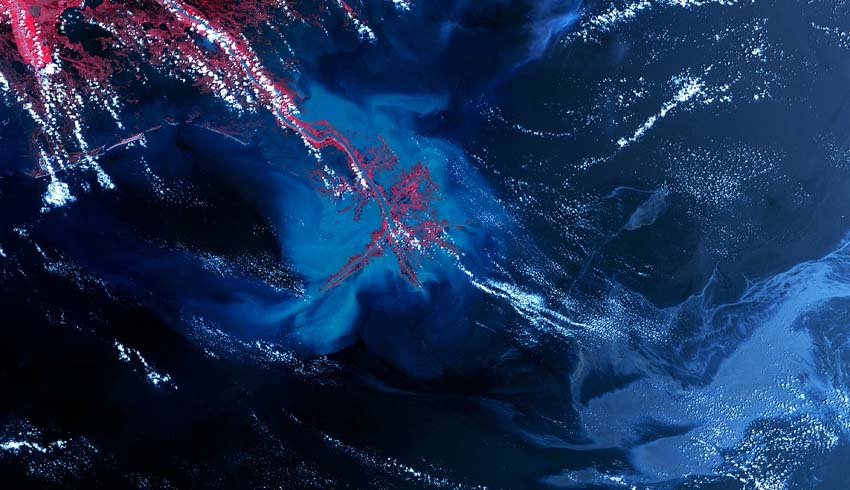
In addition to the detection of oil slicks, the team are also exploring the use of SAR data for the detection and monitoring of river run-off during the wet season, and how it can be integrated with other CSIRO modelling platforms like eReefs to manage water quality.
The oil spill detection method can be redeployed in under an hour for any region of the world.
This novel approach is not only beneficial for Australia, it can also be used for south-east Asia or the Pacific islands where CSIRO is actively undertaking environmental research.
Make Space Connect a preferred news source on Google.